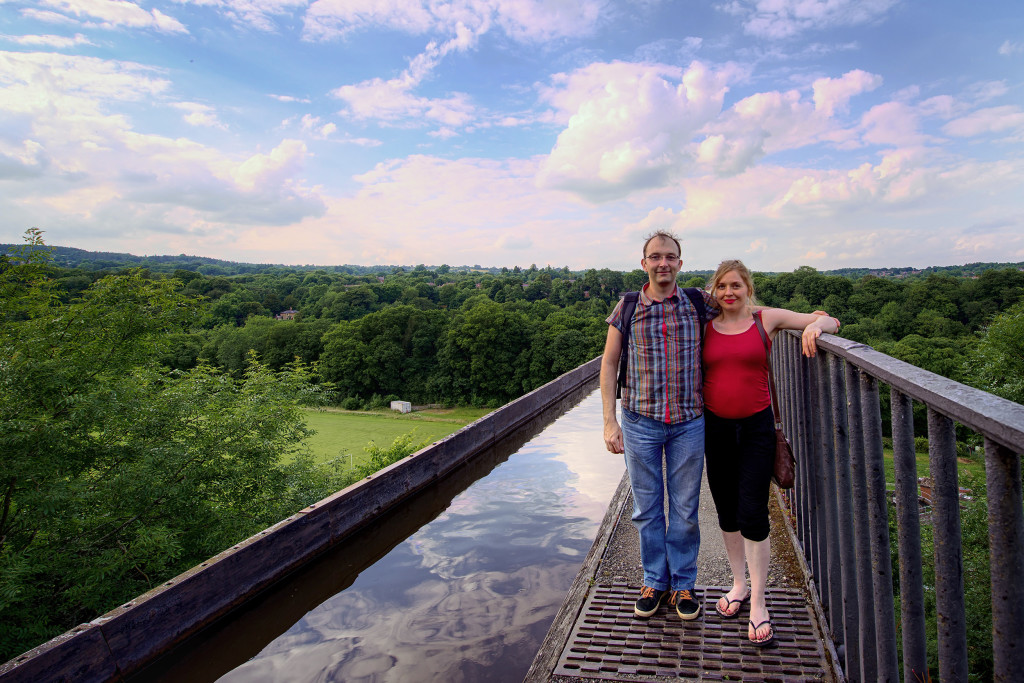
The Pontcysyllte Aqueduct is a navigable aqueduct that carries the Llangollen Canal over the valley of the River Dee in Wrexham County Borough in north east Wales. Completed in 1805, it is the longest and highest aqueduct in Britain, a Grade I Listed Building and a World Heritage Site.
When the bridge was built it linked the villages of Froncysyllte, at the southern end of the bridge in the Cysyllte township of Llangollen parish (from where it takes its name), and Trevor (Trefor in Welsh), at the northern end of the bridge in the Trefor Isaf township of Llangollen parish. Both townships were later transferred to Wrexham County Borough following local government reorganisation.
The name is in the Welsh language and means “Cysyllte Bridge”. For most of its existence it was known as Pont y Cysyllte (“Bridge of Cysyllte”). Other translations such as “Bridge of the Junction” or “The Bridge that links” are modern, and incorrect, inventions, from the literal English translation of cysyllte being “junctions” or “links”, as the township of Cysyllte existed for centuries before the bridge was built

